
InesInspector
Infrastructure inspection and field data collection
Mobile app to inspect georeferenced assets, with photos, maps and offline work.
PS-2.14 · Overpass
- Expansion joints
- Railings and parapets
- Deck cracking
- PS-2.14Overpass · 3 photos
- OD-7.02Drainage structure · 2 photos
- MU-3.40Retaining wall · 4 photos
- PS-2.18Overpass · 1 photos
Monitoring and management
Ines Inspector is a mobile app for inspecting infrastructure and collecting field data quickly and efficiently. It guides the inspector step by step to ensure consistent, high-quality data, and it is integrated with the asset management system so each asset’s information can be checked on site.
What it does
01Workflow and connectivity
- Preview and download assets before going to the field.
- Inspection itineraries and routes.
- Geographic information layers.
- Real-time validation to avoid errors.
- Export and backup of data and photos.
02Map to filter and search
- Assets on an interactive map.
- Filters by location, condition or type.
- Automatic geolocation of each inspected asset.
03Mobility and autonomy
- Works on any mobile device, as a PWA, without app stores.
- Touch interface designed for fast data capture.
- No paper forms or duplicate records.
04Offline work
- Full inspections without an internet connection.
- Local storage that syncs when the connection returns.
- Optimised data usage for low-coverage areas.
Real-time visual records and georeferencing
The device camera documents the condition of each asset at the moment of inspection. Photos are georeferenced to place them on the map and guarantee traceability, and each capture can include comments with the necessary context.
Where it is used
- Maintenance of power networks, roads, bridges and pipelines
- Urban inventory: lighting, signage and street furniture
- Equipment in industrial plants and wind farms
- Environmental monitoring and protected areas
- Monitoring of public works and urban development
Where we have applied it
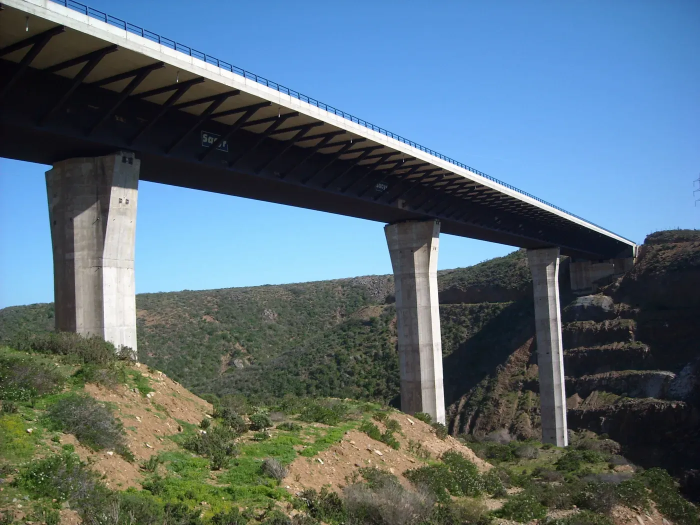
Spain, Chile, Brazil and Italy
Asset management for Abertis motorways
A common tool for every Abertis concession to know its assets and manage their maintenance.
View project on ines.es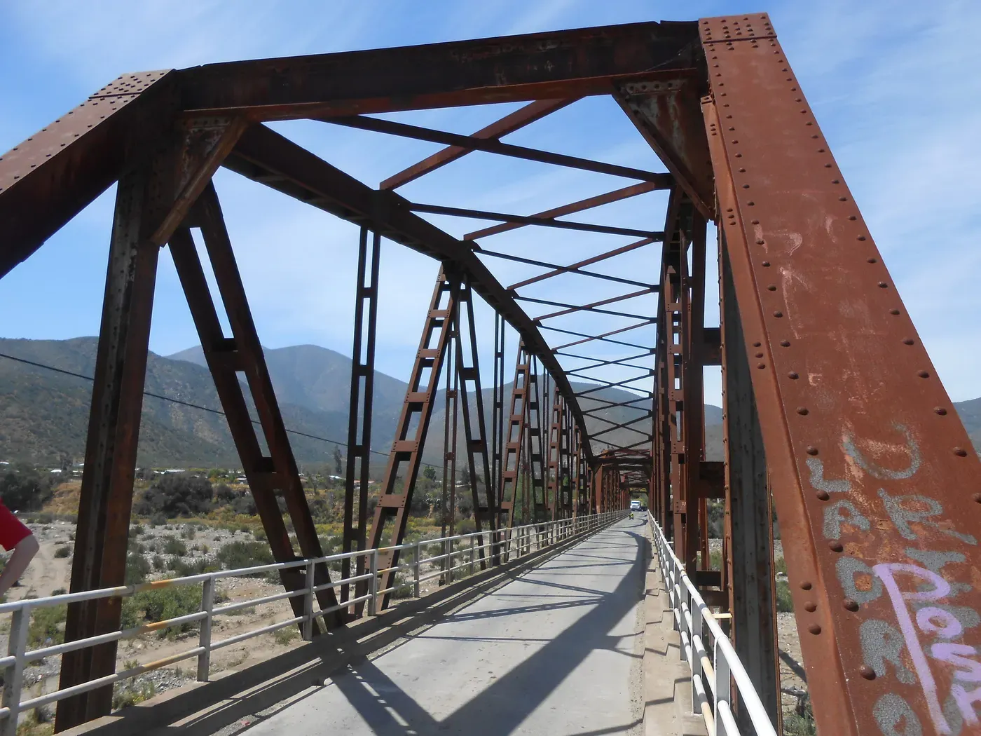
Chile
Asset management system for the Ministry of Public Works
Web software to manage the main assets of the national road network.
View project on ines.es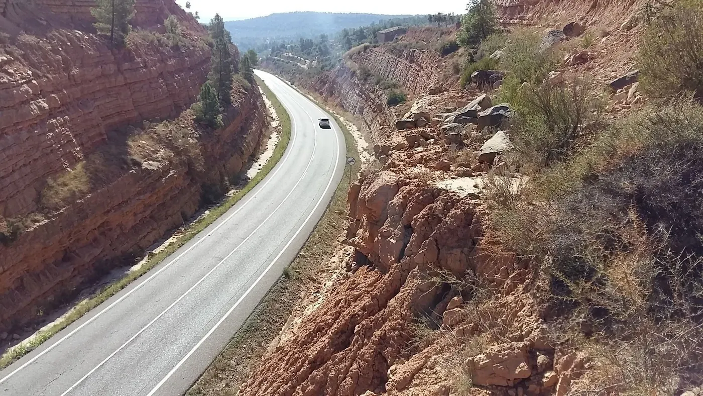
Catalonia
Geotechnical asset management for DGIM
Methodology and tool to rate cuttings, embankments and tunnels on the Catalan network.
View project on ines.es
Madrid
Structure management for Madrid, M-30 and the Region
Madrid City Council, Madrid Calle 30 and the Community of Madrid prioritise the upkeep of their structures with i3met.
View project on ines.esSpain
Railway slope data collection
Integrated data collection system to inspect slopes across the whole railway network.
View project on ines.es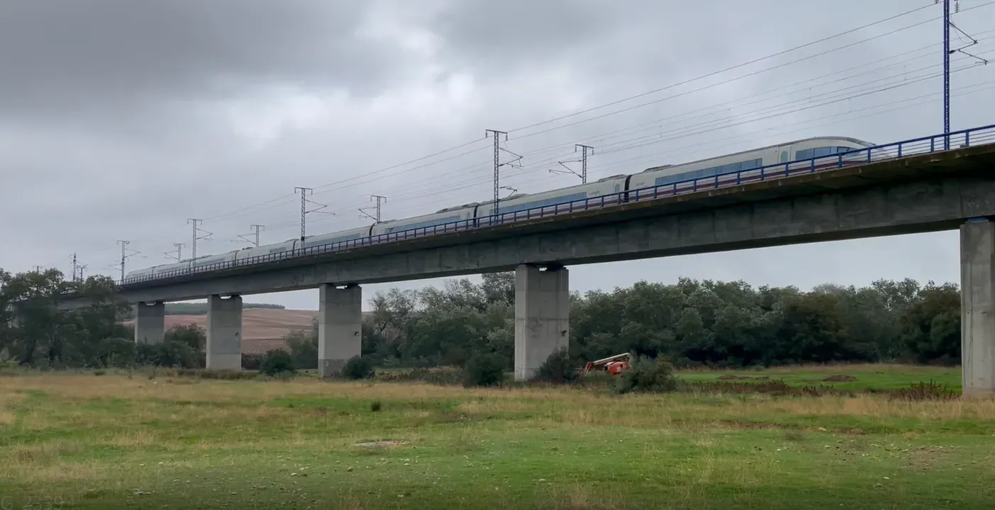
Spain
Innovation in railway bridge inspection
R&D project with ADIF and ERDF funding to find alternatives to traditional bridge inspection.
View project on ines.es
Want to see itin action?
We will show you Ines Inspector with data and cases similar to yours, and answer your technical questions.