
IngestaGeo
Ingestion, management and publishing of georeferenced maps
A single place in the cloud for all your geospatial data, published automatically for QGIS, ArcGIS or the web.
PS-214 · Overpass
- Flood risk
- High · T100
- Condition rating
- 62 / 100
- Last inspection
- March 2025
Published layers, consulted in the field next to the structure.
Data processing and analysis
IngestaGeo centralises georeferenced data in a single place. It orchestrates a map server (GeoServer) through its REST API with a Python back-end. Layers are ingested with GDAL and OGR: vector layers into RDS and rasters into S3. Everything is compartmentalised and ready to scale on demand in the cloud.
What it does
01Almost any format
Thanks to GDAL and OGR, we support virtually every geospatial format.
02Transparent for users
Users upload their layers from a web interface. Once an administrator approves them, they are processed and made available to everyone else.
03Works with everything
Compatible with QGIS and ArcGIS, and with web viewers such as OpenLayers, Leaflet, MapStore or GeoServer.
04Visibility by group
Each layer can be restricted to certain user groups: a single system with all the data, served to each user according to their needs.
Automatic loading, transformation and publishing
It connects a centralised source of geospatial data with multiple tools and automates ingestion, so any user can publish their layers.
Vector layers in OGR containers
For each vector layer a Docker container is started with the resources it needs. It runs OGR and ingests the layer into PostgreSQL with PostGIS so spatial operations can be performed on the data.
Cloud-optimised rasters
Rasters are converted to COG (Cloud Optimized GeoTIFF) with GDAL in a cloud container and stored in AWS S3, ready to be consumed from anywhere.
Hierarchical organisation
Data is organised by user group, provider or project, layer group and subgroup.
Where we have applied it
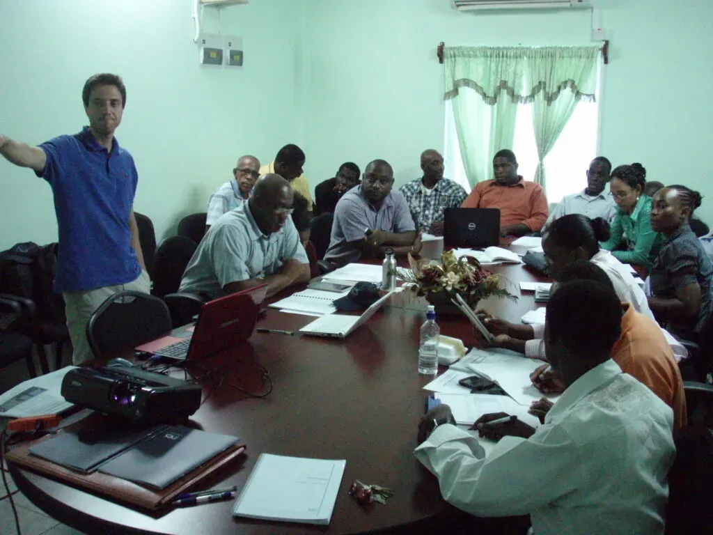
Saint Vincent and the Grenadines
Road and public building assets
Inventory and management of roads and public buildings in an island nation exposed to hurricanes.
View project on ines.es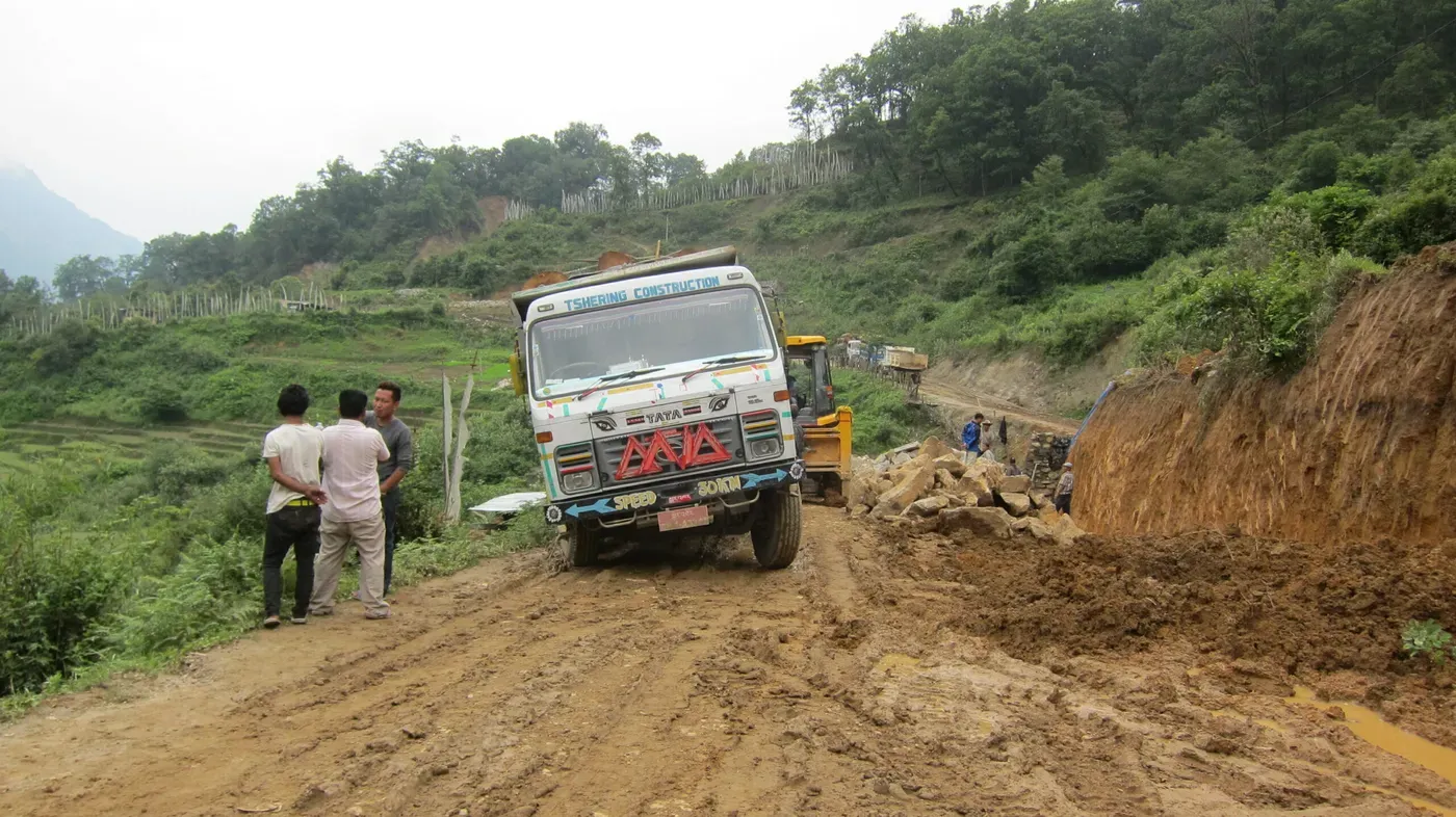
Bhutan
Geohazards on the road network
Geohazard risk management for roads in the eastern Himalayas, integrated into asset management.
View project on ines.es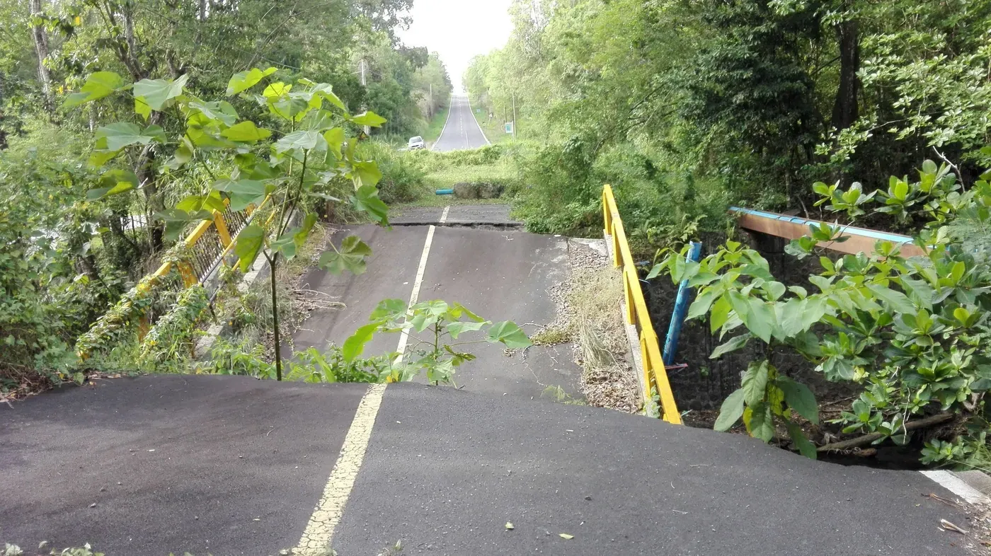
Dominica
Risk-based asset management
Roads and bridges managed according to risk, to build resilience on tight budgets.
View project on ines.es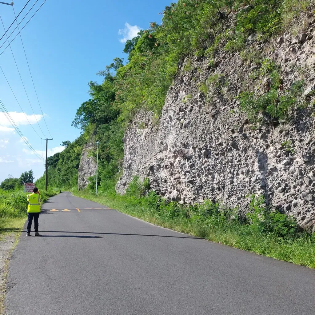
Dominica
Road network resilience
Strategy and management system for a road network in the heart of the hurricane belt.
View project on ines.es
Want to see itin action?
We will show you IngestaGeo with data and cases similar to yours, and answer your technical questions.